Walking routes
Samieira Mills Route
Start:
Praza de Alfredo Romay Besada (San Xoán de Poio).
Distance:
5.5 kilometers (round trip).
Difficulty:
Low.
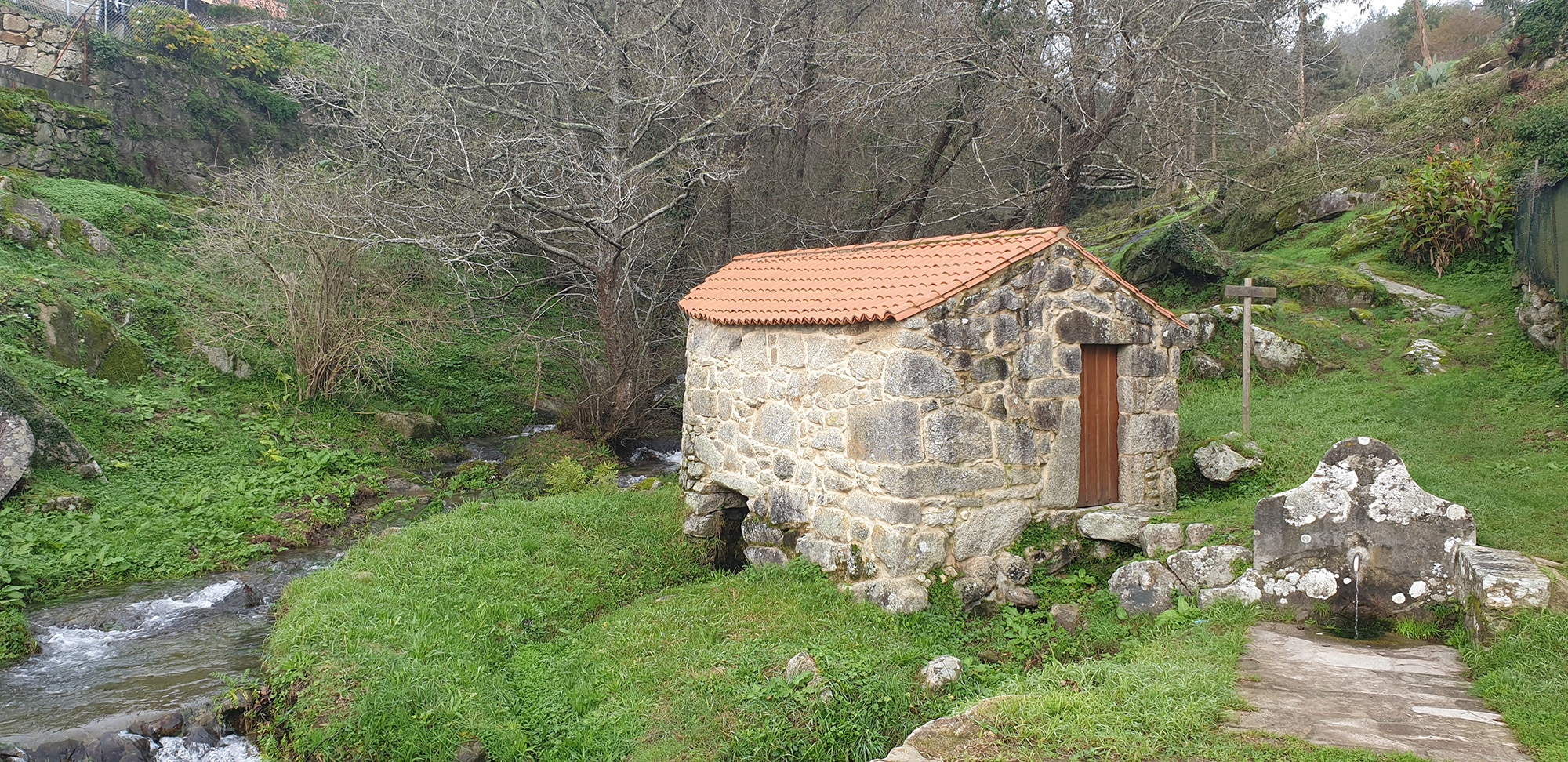
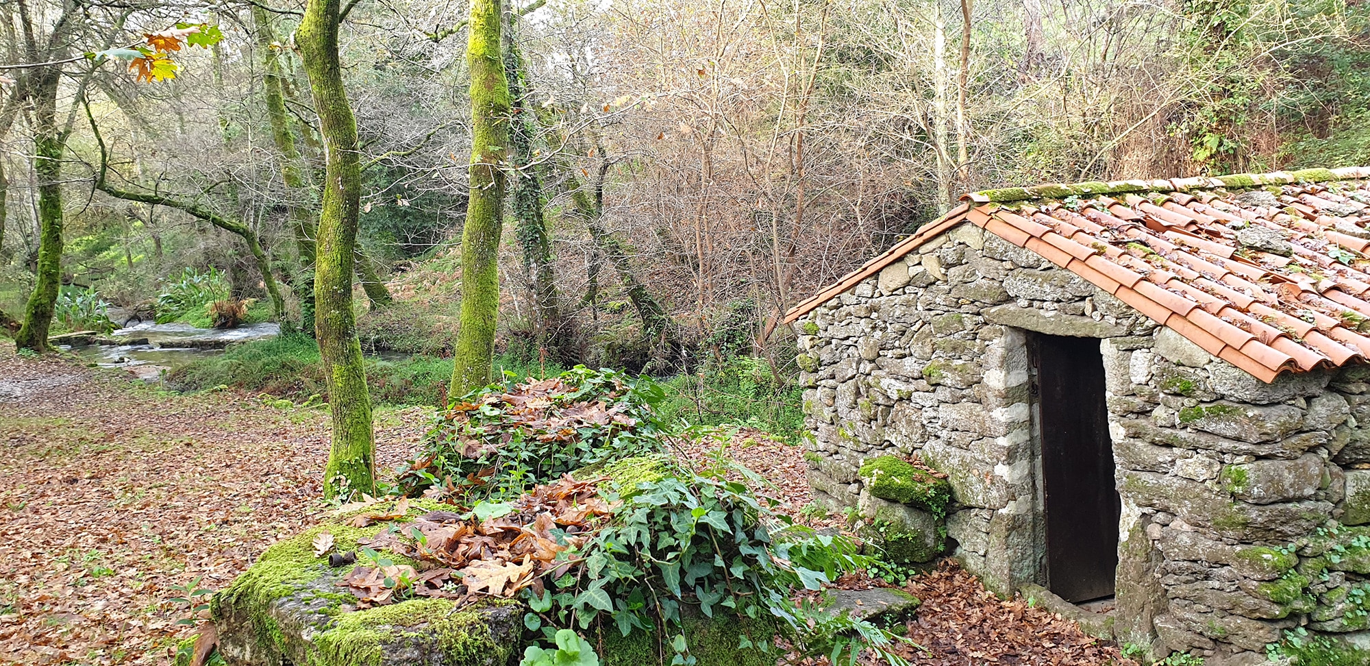
This itinerary covers a total of 23 mills along the course of the Freiría River, also called Rego dos Muíños or Rego dos Frailes. According to tradition, this name is because, at the source of the river, in the place of O Busto, a nobleman converted to a friar built a monastery of which no remains remain.
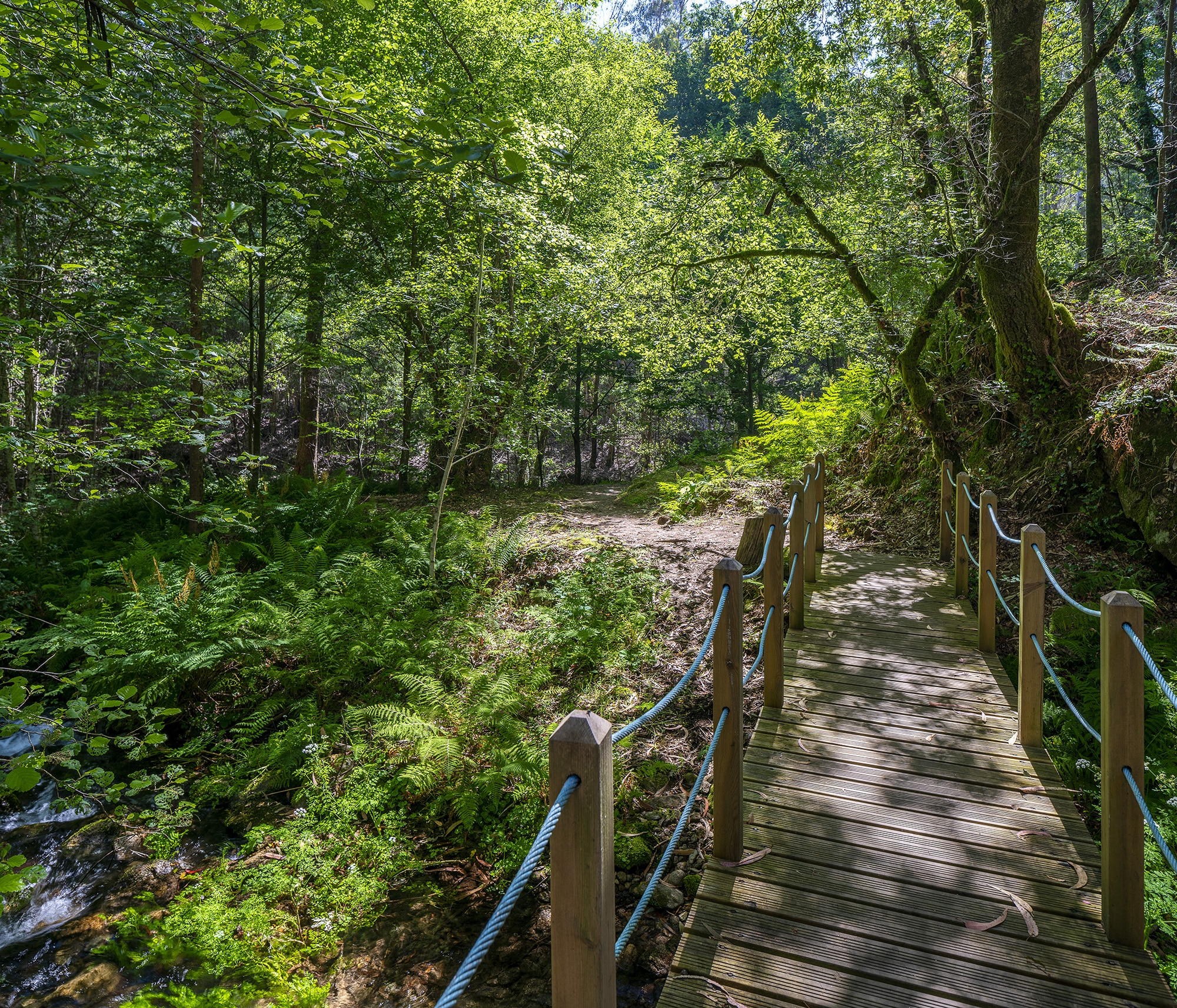
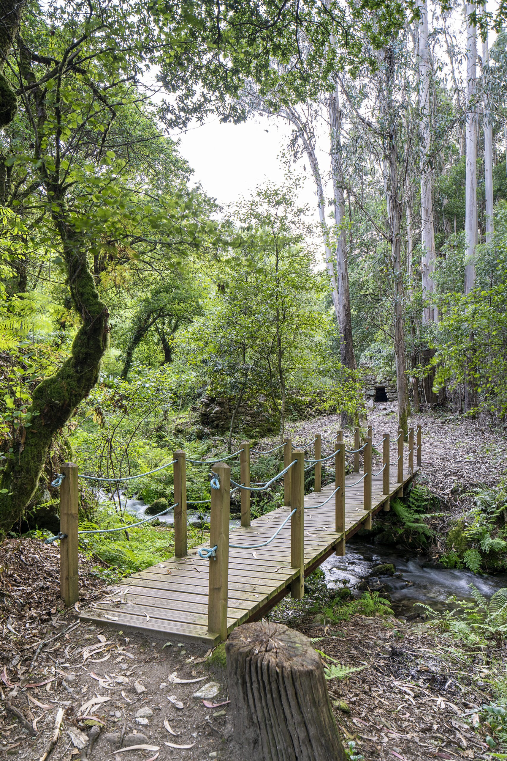
The path starts from Praza de Alfredo Romay, from the so-called Muíño de Cubo de Abaixo and runs upstream always close to the bank, crossing riverside forests with ash, birch, hazel, willow and oak trees. The entire route is suitable for walking along a dirt road with numerous wooden walkways to avoid unevenness and ford the current. There are also areas equipped for rest with tables and benches.


Blue Trail year 2025
This route belongs to the network of Blue Trails created by the Asociación de Educación Ambiental y del Consumidor ADEAC
A Senda do Laño
Start:
Covelo Dock (Covelo-Samieira).
Distance:
1.2 kilometers.
Difficulty:
Low.
This path runs along part of the Samieira coast, passing through small coves and oak groves. The route is of low difficulty and has a total length of 1.2 kilometers. The path begins at the Covelo Pier and runs along the coast of the parish of Santa María de Samieira, passing through the beaches of Covelo, O Caeiro and Laño. At the end of the route you can contemplate the beautiful views of the Pontevedra estuary from the Laño viewpoint. Very close by is one of the most beautiful hiking trails in the town, the Samiera Mills Route.

Blue Trail year 2025
This route belongs to the network of Blue Trails created by the Asociación de Educación Ambiental y del Consumidor ADEAC
Spiritual Variant of The Way of Saint James
Start:
Fragamoreira (San Xoán de Poio)
Distance:
Approximately 10 kilometers (through the municipality of Poio).
Difficulty:
Low.
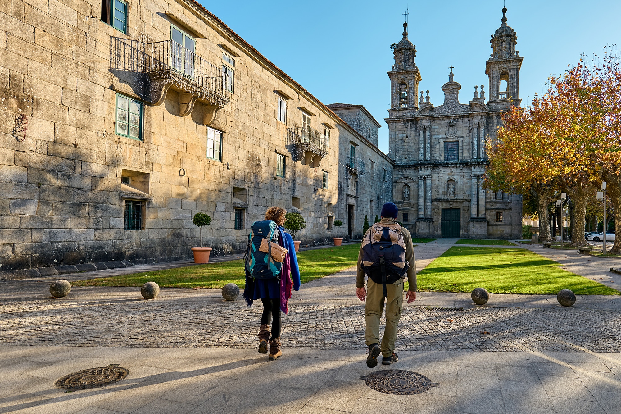
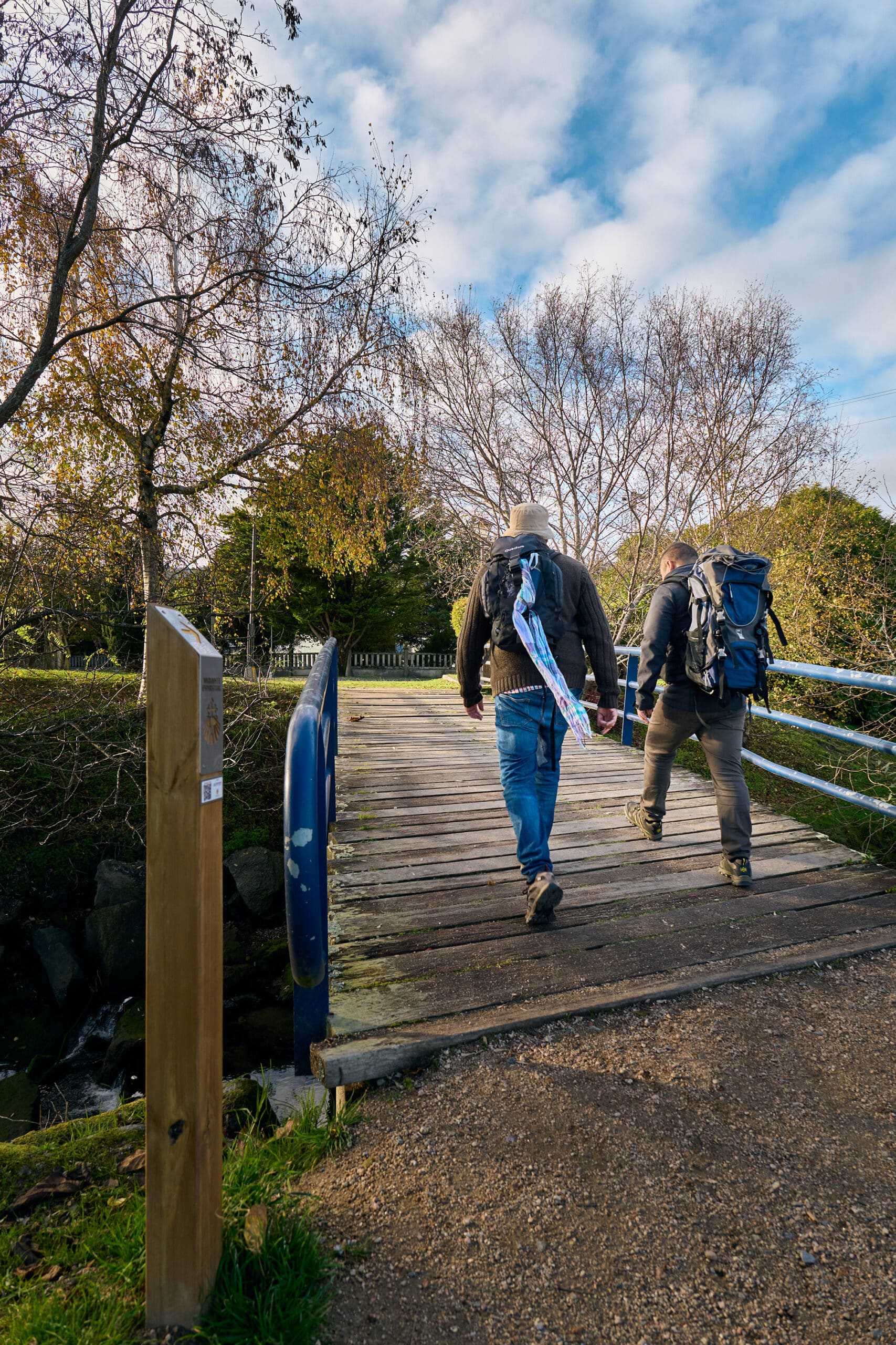
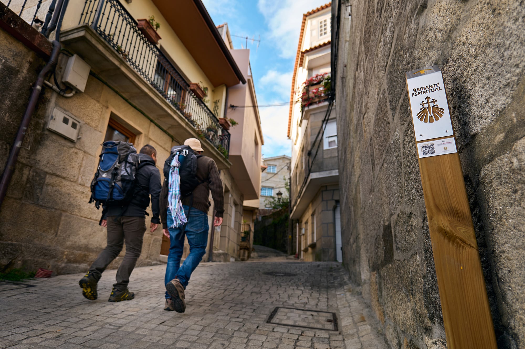
The so-called “Spiritual Variant” of The Way of Saint James passes through the municipality of Poio. This is an itinerary that connects two Jacobean routes: the “Portuguese Way” and the “Sea Way”, crossing the lands of Salnés and Arousa. It is divided into three stages that add up to a total distance of 73 kilometers, starting from the city of Pontevedra in the Praza da Peregrina. The last stage is also called the Traslatio, because it reproduces the journey by sea of the remains of the Apostle Santiago to Padrón.
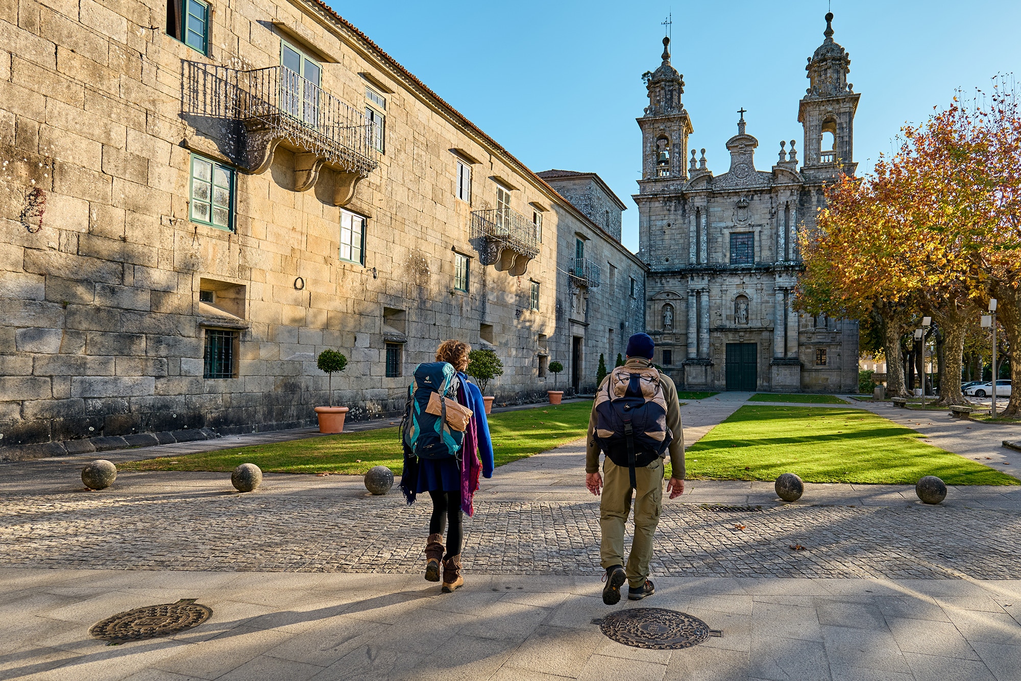
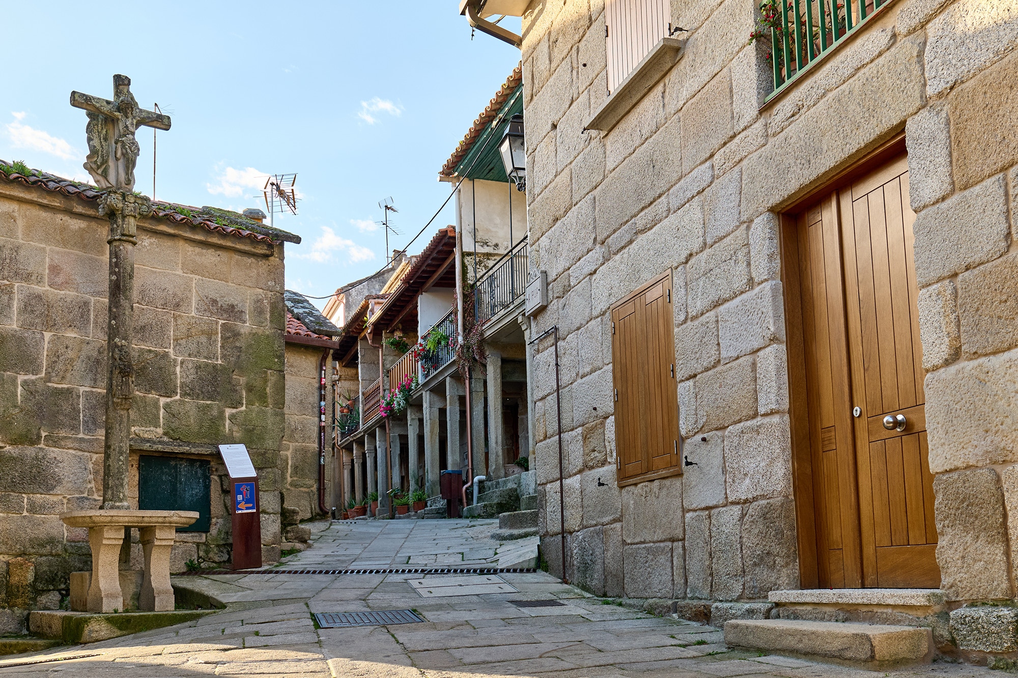
The passage of The Way of Saint James through Poio begins at the place of Fragamoreira (San Xoán de Poio). In its first kilometers the route coincides with the Padre Sarmiento Route. The first important stop is the Monastery of San Xoán de Poio and from here it continues to the A Reiboa – A Seca cove, where we can visit the Parque da Memoria. The route continues along the coast to the historic center of Combarro, where it separates from the Padre Sarmiento Route to take the north direction towards the Armenteira monastery in the lands of the municipality of Meis.
This route is awarded the distinction of “Blue Trail 2025” awarded by the Asociación de Educación Ambiental y del Consumidor ADEAC

Blue Trail year 2025
This route belongs to the network of Blue Trails created by the Asociación de Educación Ambiental y del Consumidor ADEAC
Senda da Ostreira - Poio Coastal Path
Start:
Campelo Dock (San Xoán de Poio).
Distance:
1.8 kilometers.
Difficulty:
Low.
The name of this route is due to the fact that it runs through a coastal area that was once one of the largest oyster production areas in the estuary. In fact, the first oyster farming park on the Iberian Peninsula was built here in 1868. However, over time, the overexploitation of the resource led to the disappearance of the activity, although it has left its mark on the place names.
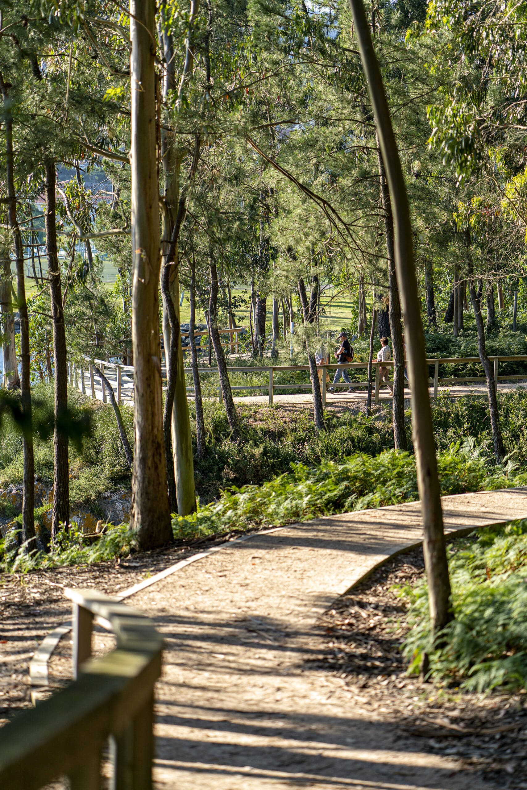
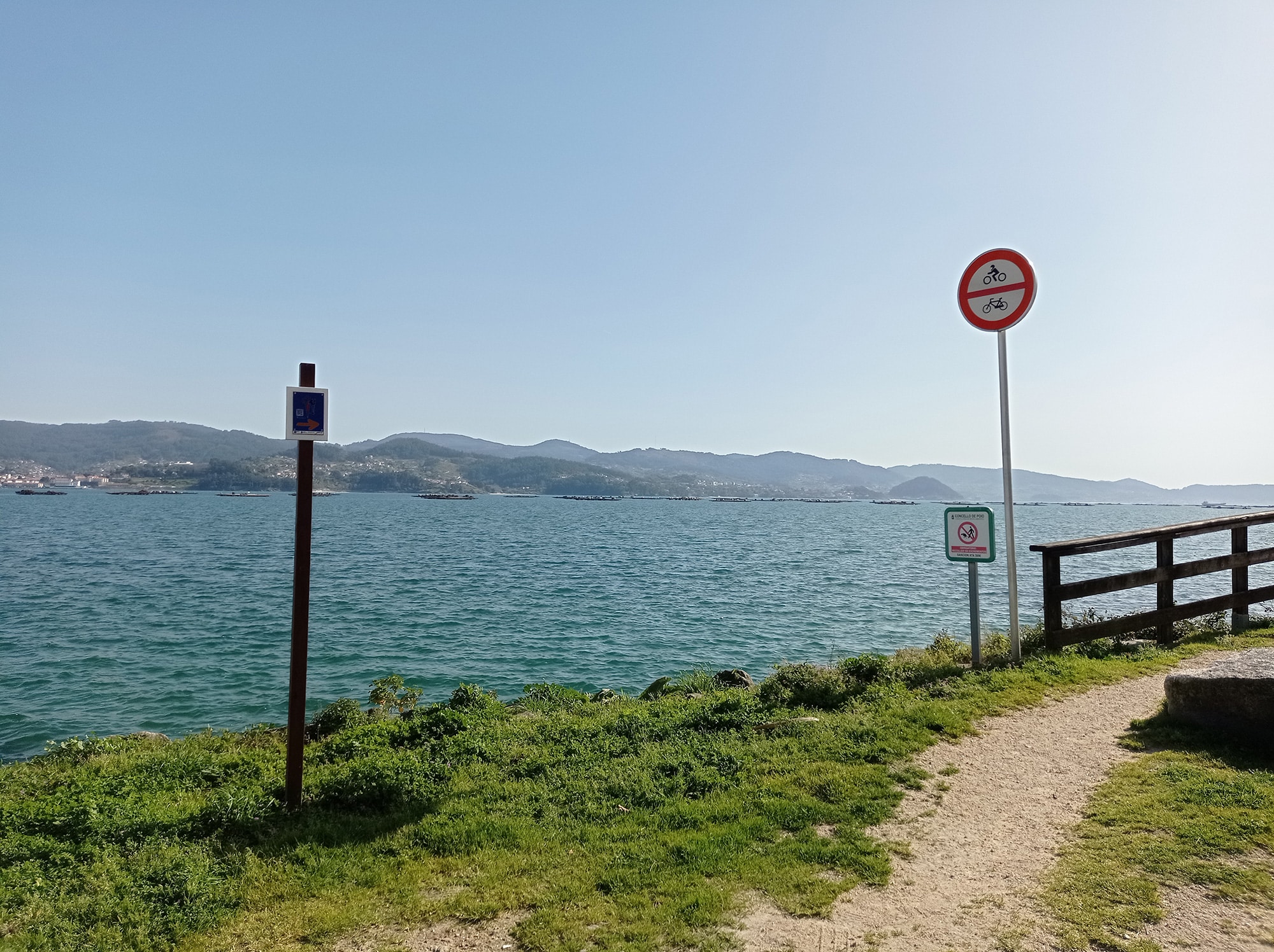
The path has a length of 1.8 kilometers, is round trip and has a low difficulty. It can be started at the Campelo pier in San Xoán de Poio. The path runs along the coast with beautiful views of the Pontevedra estuary, the island of Tambo and the Illote dos Ratos, to the Recreational Area of A Seca. From this area you can continue the walk along the Mills Route of A Freixa.

Blue Trail year 2025
This route belongs to the network of Blue Trails created by the Asociación de Educación Ambiental y del Consumidor ADEAC
Ruta da Freixa
Start:
A Seca Sports Area (San Xoán de Poio).
Distance:
1.8 kilometers (round trip).
Difficulty:
Low.
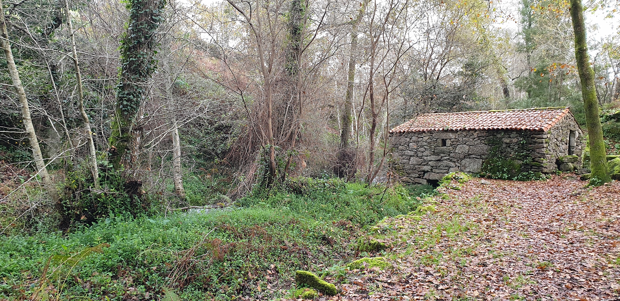
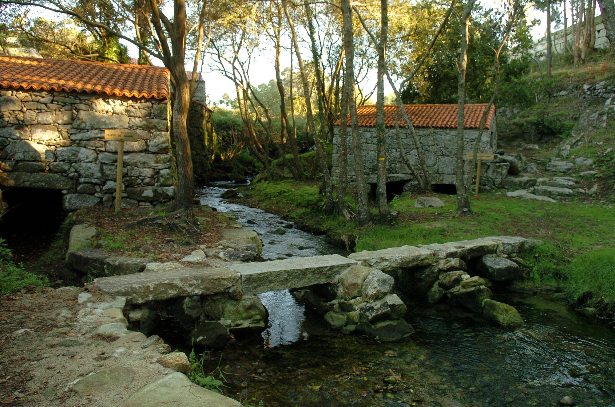
The itinerary begins and ends at the mouth of the Regato da Cancela, coinciding with the A Seca Sports Area and the Parque da Memoria, designed by Nobel Prize winner Adolfo Pérez Esquivel. The route runs upstream and, in a section of less than one kilometer, you pass nine mills, seven of which have been restored. The one known as Muíño de Arriba has also been completely rehabilitated with all the machinery for its operation. In addition to the mills, the steps (“pontellas”) to cross the river, the paved sections of the road, or the canals that led water to the “rodicios”, such as the 40-meter-long Muíño da Bufa, are of enormous interest.
The path runs through an area of high ecological value, among alders, willows, birches and oaks. A good opportunity to observe varied fauna, from birds such as gray wagtails, reptiles such as the Iberian emerald lizard or amphibians such as salamanders and Iberian frogs.
Padre Sarmiento Route
Start:
Monastery of San Xoán de Poio (San Xoán de Poio).
Distance:
Approximately 12 kilometers (through the municipality of Poio).
Difficulty:
Low.
This route reproduces the path that the enlightened monk Fray Martín Sarmiento made in 1745 on his pilgrimage to Compostela and that he documented in his work «Viaje a Galicia». The total route of 190 kilometers crosses the municipalities of Pontevedra, Poio, Sanxenxo, O Grove, Meaño, Cambados, Vilanova de Arousa, A Illa de Arousa and Vilagarcía, Catoira and Pontecesures.
Through the municipality of Poio the itinerary crosses approximately 12 kilometers of the first stage (Pontevedra – Sanxenxo). From Pontevedra you arrive through the place of Fragamoreira and the first great point of interest is the Monastery of San Xoán de Poio. From here the road continues towards the coast to the Reiboa – A Seca cove, passing through the Parque da Memoria. From this point the journey is completely coastal and reaches the historic center of Combarro to continue in a westerly direction along the beaches of Chancelas, Ouriceira, Area da Barca, Covelo, Laño, and Raxó. From the nucleus of Raxó (San Gregorio de Raxó) the road continues through the municipality of Sanxenxo.
Fervenzas do Pereiro
Start:
Pereiro de Abaixo (San Xoán de Poio).
Distance:
1.5 kilometers (round trip).
Difficulty:
Low.
This route runs along the banks of the Regato do Pereiro, a river stream born from several sources that converge in the Cachada da Randa and flows into the A Reiboa – A Seca cove, right next to the Parque de la Memoria.
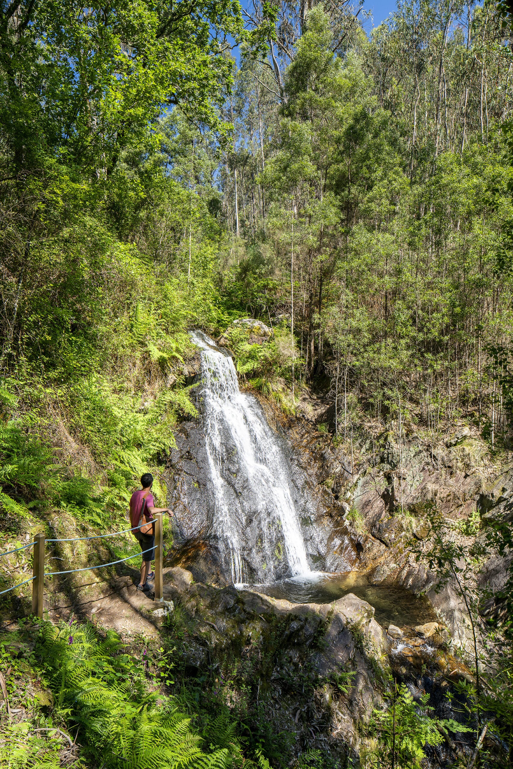
The route begins in A Ponte Vella, in the upper part of the place and goes up the path crossing a characteristic riverside forest along which we pass several wooden bridges and up to three abandoned mills. One of the main attractions of the route are the waterfalls. The first, called A Pindilleira, is located 475 meters from the beginning and is almost 7 meters high. The Freixa Alta waterfall is located right at the end of the path and has a height of 10 meters. The difficulty of the route is low, but it must be taken into account that it has greater unevenness than other itineraries in Poio.